We’re 100% focused on helping advisors demonstrate value for growers and build better relationships through full-service, leaf-level insights.
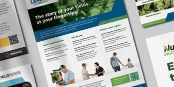
TARANIS FOR ADVISORS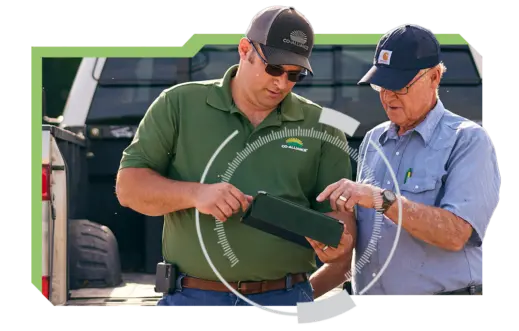
Scout from anywhere and prioritize the farms that require the most attention.
Get timely insights to accelerate decision-making and validate recommendations.
Show growers how to maximize yield to improve planning and boost their bottom line.
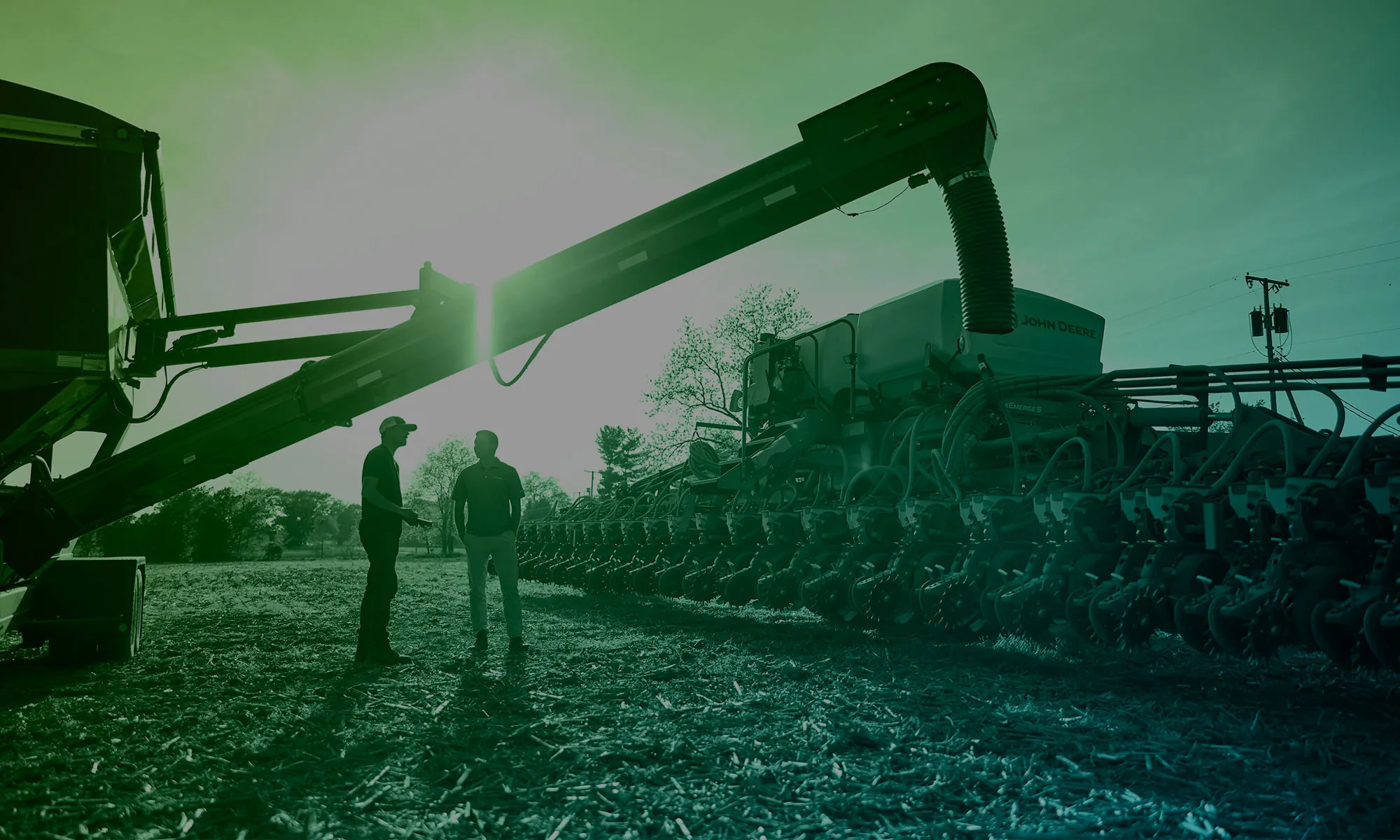
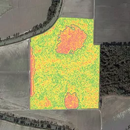
Trusted advisors are expected to see the big picture yet know the details. Cover more fields with greater efficiency using data-driven insights about your growers and their crops.
SEE HOW IT WORKSCreate the best experience for every grower and every field, while we take care of the heavy lifting with full, end-to-end service.
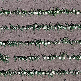
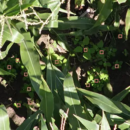
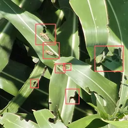
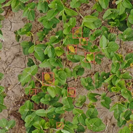
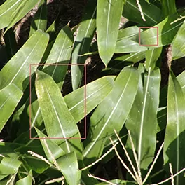
Understand crop start, weed severity, disease, insect damage, and nutrient deficiencies—in season and after the season.
Communicate with confidence, bringing visual, clear insights and action plans tailored specifically to your growers.

Taranis is leading the AI-powered crop intelligence revolution, combining high-end tech with expert agronomy.
SEE OUR INSIGHTSFull service before, during, and after the season, backed by unmatched technology and deep ag expertise.
Submillimeter image resolution of every acre, collected by drones and delivered right to your fingertips—wherever you are.
Deep AI and machine learning, trained by 200M+ data points and continuously optimized by our team of experts.
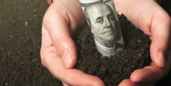
A new strategic partnership between Taranis and Steward Link is easing the burden of program application and validating implemented conservation practices —unlocking significant revenue potential for growers.
Branding. It’s more than a logo. Your company’s brand ultimately represents an experience; every interaction a person has with your brand is an experience: good, bad, or indifferent. From the way the chosen color palette is perceived and the emotions it evokes to the phone call that ends with what we all hope is a friendly and knowledgeable voice on the other end of the line, it all matters.
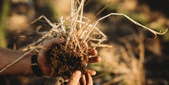
A new strategic partnership between Taranis and Steward Link will both ease the burden of program application and validate implemented conservation practices —unlocking significant revenue potential for growers.